
Дѣло:Europe continents.svg

Size of this PNG preview of this SVG file: 800 × 520 пиѯєлъ. Other resolutions: 320 × 208 пиѯєлъ | 640 × 416 пиѯєлъ | 1.024 × 666 пиѯєлъ | 1.280 × 832 пиѯєлъ | 2.560 × 1.664 пиѯєлъ.
источьнъ дѣла обраꙁъ (дѣло SVG · обꙑчьнъ обраꙁъ : 800 × 520 п҃ѯ · дѣла мѣра : 356 Х҃Б)
| Сь видъ Викикладѣ (Wikimedia Commons) съхранѥнъ ѥстъ ⁙ Cѥ ѥгожє опьсаниѥ ѥстъ |
опьсаниѥ
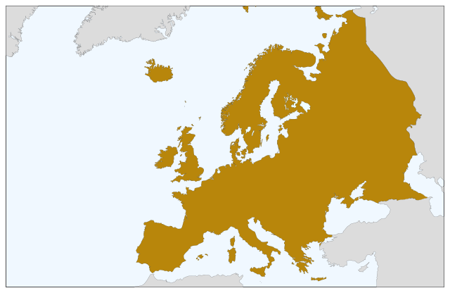
| опьсаниѥ | Blank map of Europe, showing only the continents. SVG format. |
| врѣмѧ сътворѥниꙗ | |
| кладѧꙃь |
This file was derived from: Europe countries.svg:  |
| творьць | Júlio Reis |
прощєниѥ
сѥ́ дѣ́ло по́дъ прощє́ниѥмь Creative Commons Attribution-Share Alike 3.0 Unported положєно ѥ́стъ
- тꙑ можєши :
- прострѣти – to copy, distribute and transmit the work
- прѣвращати – прѣтворити дѣло
- Under the following conditions:
- attribution – You must give appropriate credit, provide a link to the license, and indicate if changes were made. You may do so in any reasonable manner, but not in any way that suggests the licensor endorses you or your use.
- share alike – ащє жє сѥ дѣло иꙁмѣниши · прѣвратиши или ѥгожє основѣ нѣчьто сътвориши · тъ авлѥно слѣдьствиѥ подъ самомь тѣмь прощєниѥмь или подобьномь ѥмоу положити длъжєнъ ѥси
дѣла їсторїꙗ
Click on a date/time to view the file as it appeared at that time.
| дьнь / врѣмѧ | малъ обраꙁъ | мѣра | польꙃєватєл҄ь | опьсаниѥ | |
|---|---|---|---|---|---|
| нꙑнѣщьн҄ь обраꙁъ | 08:04, сєптємврїꙗ 5 числа, 2022 | | 800 × 520 (356 Х҃Б) | Рагин1987 | Correction |
| 19:35, аѷгоуста 30 числа, 2022 |  | 2.560 × 1.664 (496 Х҃Б) | Рагин1987 | More correct visualization of the dividing line on the territory of the Caucasus Range | |
| 10:50, маїꙗ 23 числа, 2006 |  | 800 × 520 (305 Х҃Б) | Tintazul | {{Tintazul| |Description=Blank map of Europe, showing only the continents. SVG format. |Date=19 May 2006 |Source=Image:Europe countries.svg }} Category:Maps of Europe |
дѣла польꙃєваниѥ
There are no pages that use this file.
Global file usage
инꙑ мѣста къдє сѥ дѣло польꙃєвано ѥстъ :
- польꙃєваниѥ въ sv.wikipedia.org